
Beneath the seemingly ordinary surfaces of streets, sidewalks, and landscapes lies a complex network of utilities that power our cities and communities. Understanding the location and condition of these underground utilities is paramount for avoiding disruptions, preventing accidents, and facilitating efficient urban planning.
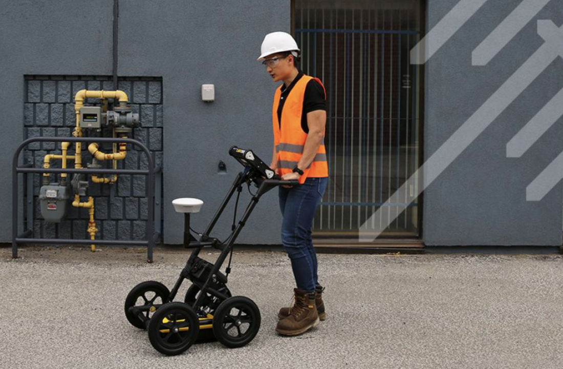
Enter ground-penetrating radar (GPR), a cutting-edge technology revolutionising utility mapping. It sends electromagnetic waves into the ground and detects the reflected signals. The system interprets these signals to create detailed images of subsurface structures, revealing the presence and characteristics of various materials.
Identification and Mapping of Utilities
One of the primary applications of GPR is the identification and mapping of underground utilities. From water and gas pipes to electrical cables and telecommunication lines, GPR enables urban planners, engineers, and utility companies to create comprehensive maps without disrupting the surface.
Enhanced Accuracy in Utility Locating
Accurate utility locating is crucial to avoid accidental damage during construction or excavation projects. GPR significantly enhances the accuracy of utility locating by providing detailed information about underground structures’ depth, size, and composition. This precision minimises the risk of damaging utilities during construction activities, ensuring the safety of workers and preventing service disruptions.
Efficient Management of Urban Infrastructure
For cities to function seamlessly, efficient management of urban infrastructure is paramount. By creating detailed maps and identifying potential issues, city planners and utility managers can prioritise maintenance and upgrades, optimising the performance of critical infrastructure.
Preventing Accidents and Disruptions
Excavation-related accidents due to unintentional utility damage can have severe consequences, including service disruptions, injuries, and financial liabilities. GPR is pivotal in preventing such incidents by providing real-time data on underground structures. This can help construction teams navigate around utilities, reducing the likelihood of accidental damage and ensuring the safety of both workers and the public.
If you are looking for the best service locating provider in Australia, then Durkin is for you. We have provided various contractors in the country with professional engineering and surveying services for the past two decades. If you have inquiries about our services, contact us today by visiting www.durkin.au/contact.